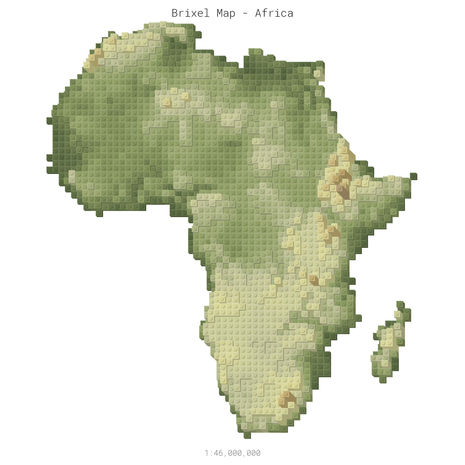
BRIXEL MAPS
Hey fellow AFOB! Inspired by my childhood love for Lego® and a creative spark fueled by QGIS vector styles, I present to you a unique fusion of bricks, maps, and a touch of the third dimension. Let's dive into the colorful world of Brixel Maps! When I stumbled upon tutorials for QGIS vector styles resembling building bricks, I couldn't resist the urge to dive in. But there was a missing piece – elevation. The maps lacked that crucial third dimension that give the bricks their iconic shape. With a touch of creativity and a dash of innovation, I expanded the style to represent the basic geometric form through parallel projection. Each brick's dimension aligns with industry standards, and the shift occurs in increments corresponding to the height of a plate. With the basic styling complete, I embarked on a cartographic adventure – creating global Brixel Maps at different resolutions. Want to see the entire world in 1x1 bricks with a side length of approximately 200,000,000 meters? I've got you covered. Need to zoom in and explore smaller regions down to bricks with a side length of 500 meters? Consider it done. The result? Brixel Maps – pixels represented as bricks displayed as pixels, bringing a whole new perspective and playfulness to cartography.


